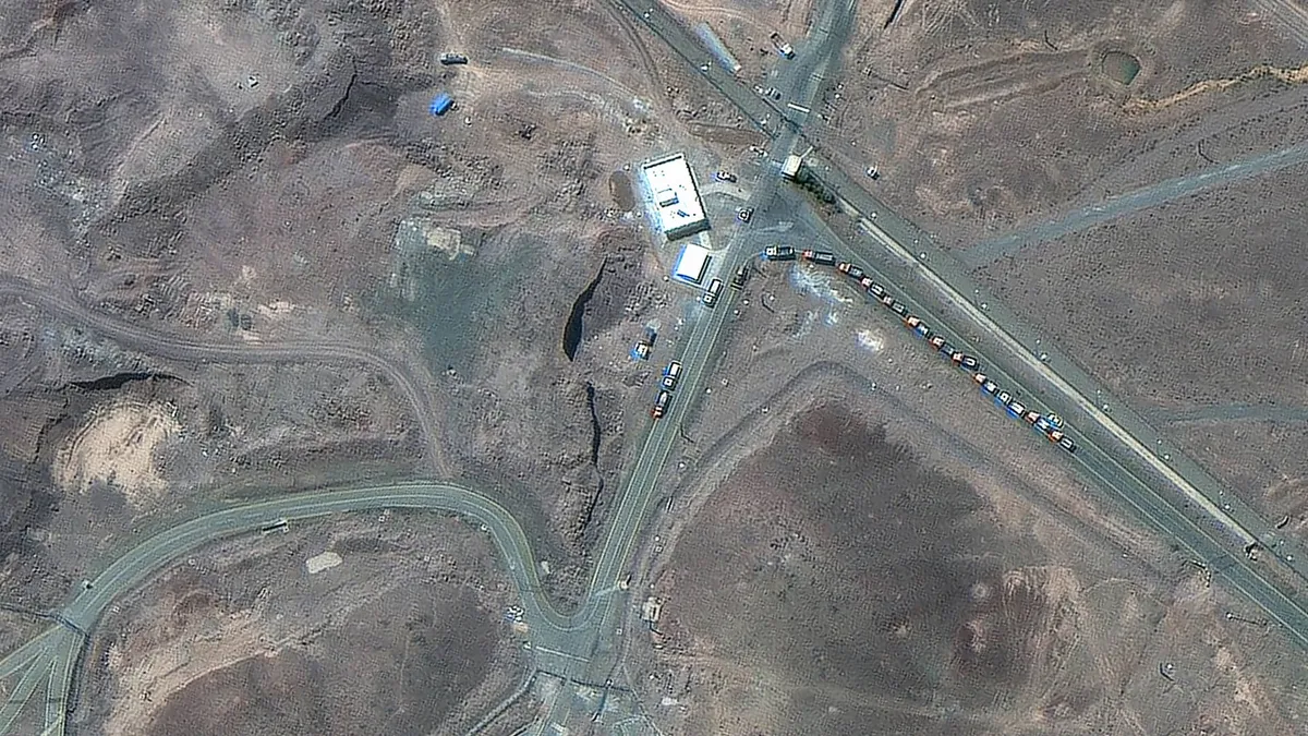
On Sunday, Maxar Technologies, a prominent U.S. defense contractor, unveiled critical satellite imagery that highlights unusual activity at Iran's Fordo nuclear facility prior to recent U.S. airstrikes. The satellite images, captured on Thursday and Friday, reveal significant truck and vehicle movements near the entrance of this underground military complex, which is a focal point of international concern due to its nuclear capabilities.
Located approximately 300 feet beneath a mountain and fortified with multiple layers of concrete, the Fordo facility is one of Iran's most secure and sophisticated nuclear sites. Situated to the south of Tehran, this facility is part of Iran's broader nuclear program, which also includes other critical sites such as Natanz and Isfahan. The advanced construction of Fordo makes it a significant target for military operations aimed at curbing Iran's nuclear ambitions.
On Saturday, the U.S. launched airstrikes targeting the Fordo facility as well as other nuclear sites in Iran. President Trump characterized the military action as a "spectacular success," asserting that the strikes effectively dismantled Iran's key enrichment capabilities. However, it's important to note that the president's assertions regarding the operational outcomes of these airstrikes remain unverified by independent sources.
Following the U.S. airstrikes, the International Atomic Energy Agency (IAEA) along with Iran's nuclear safety center reported that there were no signs of radiation or contamination at any of the affected nuclear facilities. As of Sunday morning, London time, these assessments provide a crucial update on the safety and environmental implications of the military action.
As developments unfold, the international community will closely monitor the situation surrounding Iran's nuclear facilities, particularly the Fordo site, to ensure compliance with global nuclear safety standards and to assess any potential repercussions from the recent military actions.