A dangerous nor’easter storm is making its way toward New Jersey, bringing with it hazardous conditions including winds gusting up to 60 mph and heavy rainfall. This severe weather event is projected to impact the region from Sunday through Monday, potentially resulting in significant disruptions and major coastal flooding.
The National Weather Service has issued high wind warnings and coastal flood warnings specifically for the Jersey Shore, where the winds are anticipated to be exceptionally intense. In their latest update on Saturday afternoon, the weather service stated, “Confidence remains high in significant impacts from major coastal flooding, substantial beach erosion, and high winds.”
Residents should be aware that the storm may lead to widespread roadway flooding, impassable roads, significant inundation of structures, and the need for evacuations. The high wind warning encompasses all sections of Cape May County, as well as coastal areas of Atlantic County, eastern Monmouth County, and coastal Ocean County.
As of 10 p.m. Saturday, all 21 counties in New Jersey will be under a state of emergency. The storm is expected to deliver moderate to heavy rainfall, with precipitation amounts varying from 0.75 to 3 inches across different locations in the state. The most severe conditions are anticipated from Sunday afternoon through Monday, with coastal areas facing the greatest risks.
Of particular concern are the high tides expected on Sunday afternoon and early Monday. The weather service warns, “Moderate to major tidal flooding remains very likely,” indicating a potential for widespread roadway flooding, substantial beach erosion, and dune breaching. There is also a risk of significant damage to coastal structures.
Residents living in the affected areas should prepare for possible property damage, power outages, and travel disruptions. Although the Jersey Shore is expected to experience the strongest winds, gusts of 30 to 40 mph may also occur inland, raising the likelihood of widespread power outages.
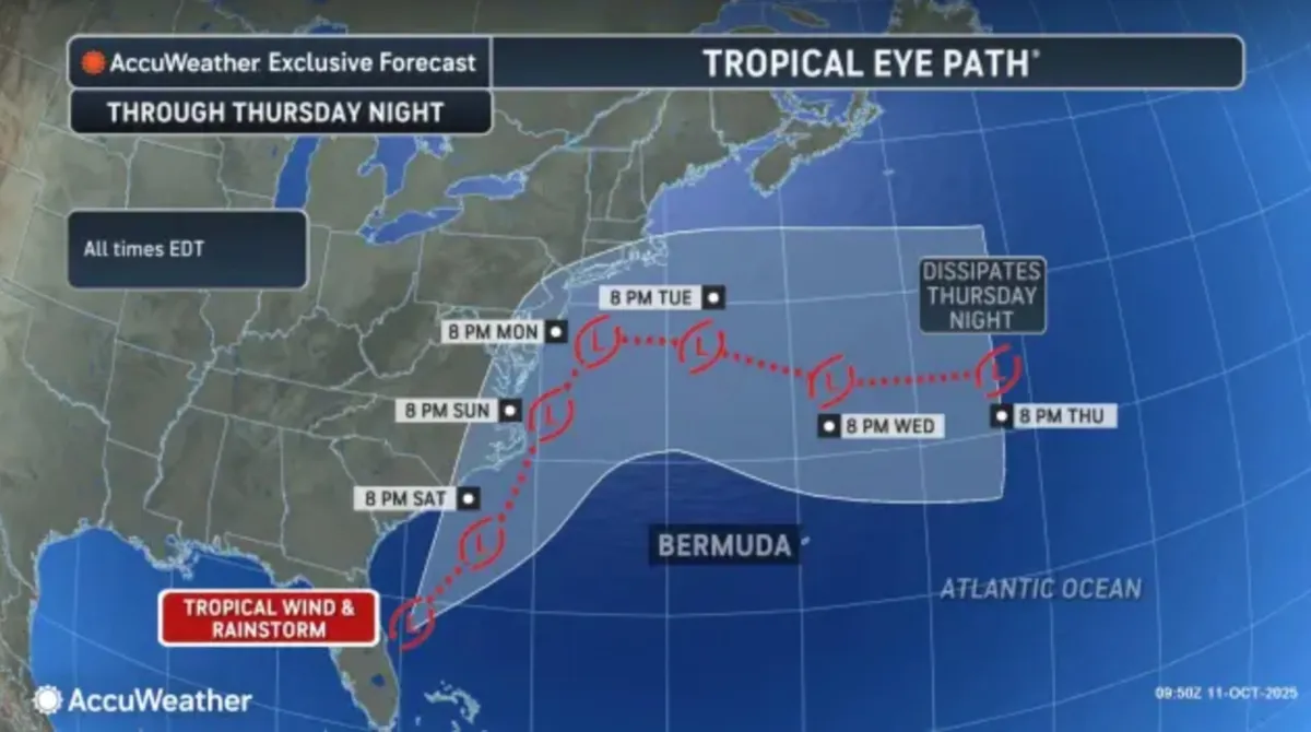
By Tuesday, the storm is projected to weaken and shift out to sea, leading to gradually improving conditions. Winds along the coast are expected to diminish to around 20 to 30 mph, and rainfall will become increasingly sporadic.
The latter half of the week promises calmer weather, with high pressure building across the region. From Wednesday to Saturday, the forecast currently indicates dry conditions, with temperatures gradually moderating after an initial cool down. Northwest winds may bring below-normal temperatures on Thursday and Friday, with a slight warming trend expected by Saturday.
Stay tuned to local weather updates and take necessary precautions to ensure safety during this severe weather event.