Tropical Storm Imelda is making its presence felt along the Southeast coast of the United States, though it will not make landfall. Instead, the storm will skirt closely to the coast, bringing with it a series of weather hazards including heavy rain, strong winds, high surf, and the potential for isolated flash flooding and coastal flooding.
As Imelda moves northward, it is expected to bring significant rainfall to the Carolinas starting on Monday. By Tuesday, the storm's impact will stretch from the Carolinas all the way to Virginia. The South Carolina/North Carolina border is projected to receive between 1 to 2 inches of rain on Monday and Tuesday. Areas such as Myrtle Beach in South Carolina and Wilmington in North Carolina may experience higher totals, with rainfall amounts reaching 2 to 4 inches.
Alongside the rain, dangerous ocean conditions are anticipated from Florida to North Carolina. The East Coast is under threat from rip currents, making it hazardous for beachgoers. Additionally, high surf alerts are in effect, with waves expected to reach heights of 5 to 10 feet along the coasts of Georgia, South Carolina, and North Carolina from Monday evening through Thursday morning. Particularly in northern Florida and southern Georgia, waves could peak at 11 feet on Monday and Tuesday.
A wind advisory has also been announced for the Central Florida coast on Monday. In areas such as Melbourne, Palm Bay, and Port St. Lucie, wind speeds could reach up to 40 mph, contributing to turbulent conditions in the region.
As the storm progresses north on Monday, it is expected to take a sharp turn northeast on Tuesday morning when it positions itself east of Central Florida. This trajectory indicates that Imelda may approach Bermuda as a hurricane by Thursday morning, raising concerns for that region.
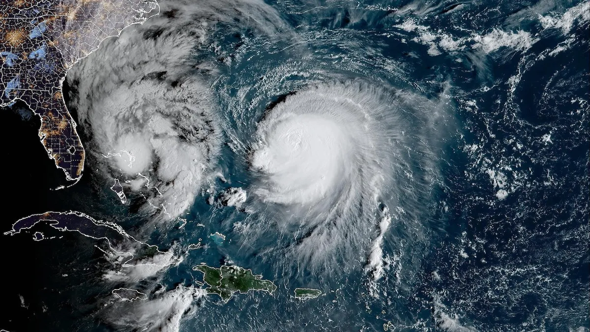
In addition to Imelda, another system, Humberto, is making headlines as a Category 4 hurricane. Humberto is expected to bring heavy rainfall to Bermuda on Tuesday before continuing its path northeast out into the Atlantic. Residents in affected areas should stay updated on the latest weather advisories and prepare for potential impacts.
Stay safe and informed as Tropical Storm Imelda and Hurricane Humberto make their way through the Atlantic region. Keep an eye on local weather updates and heed any warnings from authorities.