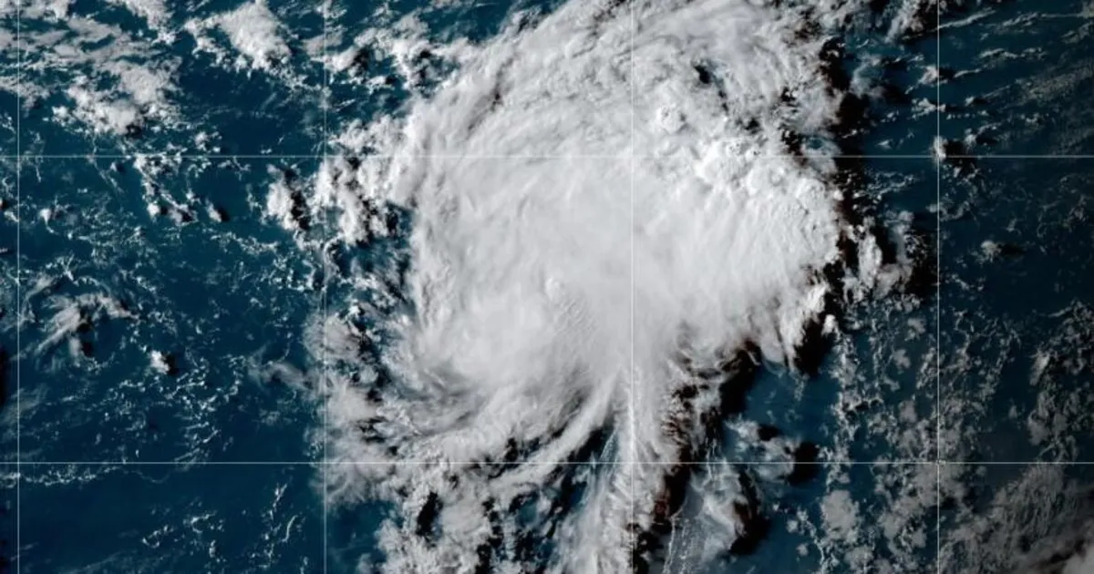
Tropical Storm Fernand has officially formed in the Atlantic Ocean, located southeast of Bermuda, as announced by forecasters on Saturday. This marks the sixth named storm of the 2025 Atlantic hurricane season, following closely on the heels of Hurricane Erin, which emerged from a similar region on August 15.
As of 5 p.m. Eastern Time on Saturday, Tropical Storm Fernand was situated approximately 405 miles south-southeast of Bermuda. The Miami-based National Hurricane Center reported that the storm has maximum sustained winds reaching 40 miles per hour and is currently moving north at a speed of 15 mph.
According to the latest updates from the hurricane center, Fernand is expected to remain over the open waters of the Atlantic. Forecasts indicate that the storm may strengthen over the weekend and has the potential to develop into a hurricane by Monday, although a weakening trend is anticipated by Tuesday. The storm is projected to move north-northeast in the coming days, remaining well east of Bermuda as it traverses the open waters of the subtropical North Atlantic.
The National Oceanic and Atmospheric Administration (NOAA) has predicted an above-normal hurricane season for 2025, estimating that there will be between 13 and 18 named storms. Among these, five to nine storms are expected to escalate into hurricanes. Fernand follows Hurricane Erin, which was the first storm this season to reach hurricane status. While Erin did not make landfall, it peaked at a formidable Category 5, bringing strong winds, dangerous rip currents, and flooding to various areas along the East Coast.