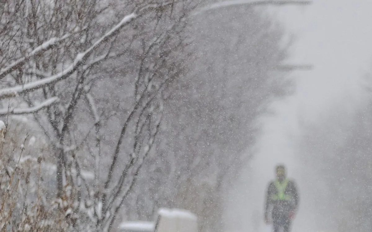
CHICAGO — Over the weekend, the city experienced a significant winter weather event, with snowfall reaching up to five inches from Saturday night into Sunday. This storm marks the snowiest start to the winter season since 1978, a year when Chicago recorded its highest snowfall total in history. According to Zachary Yack, a meteorologist at the National Weather Service, an “Alberta Clipper” system descended from central Canada into the Great Lakes region, starting around 9 p.m. on Saturday. The storm was intense, delivering snow at rates of up to one inch per hour.
The snowfall varied across the city, with most areas receiving between three to five inches. However, the northern parts of Chicago saw even higher totals, with some locales recording up to seven inches of snow. With this weekend’s accumulation, Chicago's total snowfall for the season has now reached 17.1 inches, just shy of last winter's total of 17.6 inches. Yack noted that this represents the most substantial beginning to the snowfall season since the record-setting winter of 1978-79, when the city received an astonishing 89.7 inches of snow.
Historical records indicate that by December 7, 1978, over 24 inches of snow had already fallen in Chicago. In the most recent nine days alone, the city has seen 15.4 inches of snow, making it the snowiest nine-day stretch since 2021. As of now, O’Hare Airport has recorded 6.7 inches of snow for December, which is significant considering that the average for the entire month typically hovers around 7.6 inches. “We’re going to have to wait and see if this trend continues,” Yack commented. “But we could expect higher snowfall totals than usual if it does.”
The snowfall trend in Chicago has been quite remarkable. Just last weekend, residents experienced the snowiest November day on record, with 8.4 inches blanketing the city on November 29. While meteorological winter officially begins on December 1, the National Weather Service tracks the “snowfall season” based on the first significant snowfall, which can occur as early as October or November.
Looking ahead, Chicagoans may see additional snowfall on Sunday night and potentially extending into Monday. However, temperatures are expected to rise after Monday, which may lead to some melting of the accumulated snow, according to the National Weather Service’s five-day forecast. Temperatures are projected to peak in the low 40s on Tuesday, with scattered rain and snow flurries expected on Wednesday, when the high will approach 40 degrees.
As the week progresses, more cold air is anticipated to sweep into the region, with temperatures expected to dip into the teens. There is potential for more storm systems to bring additional snow, but Yack cautioned that predictions remain uncertain nearly a week out. Chicago residents are advised to stay tuned for updates as winter weather continues to unfold.