Tropical Storm Imelda formed on Sunday in the western Atlantic and is predicted to strengthen significantly over the next few days. This storm brings the threat of torrential rainfall to various regions of the southeastern United States early this week, according to the Miami-based National Hurricane Center. Imelda is the ninth named storm of the 2025 Atlantic hurricane season and is expected to reach hurricane status by late Monday or Tuesday.
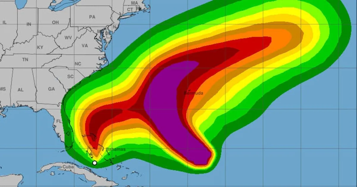
As of 2 p.m. EDT on Sunday, Imelda was located approximately 95 miles west-northwest of the Central Bahamas, with maximum sustained winds recorded at 40 mph. The storm's center was anticipated to cross over the central and northwestern Bahamas before approaching the U.S. coastline. Heavy rains have already begun impacting the Bahamas and Cuba due to this system, with steady strengthening expected in the coming days, according to the hurricane center's forecast.
Imelda is projected to deliver up to 8 inches of rain to both Cuba and the Bahamas, raising concerns about flash and urban flooding as well as mudslides in these regions. The area stretching from the Atlantic coast of Florida to the Carolinas could also experience heavy rainfall. Forecasts indicate rainfall totals of 2 to 4 inches, with localized areas potentially receiving up to 7 inches by Wednesday morning across parts of the coastal Carolinas.
A tropical storm warning was issued on Sunday for the Central Bahamas, including Cat Island, the Exumas, Long Island, Rum Cay, and San Salvador. Additionally, warnings extend to portions of the northwestern Bahamas, encompassing Eleuthera, New Providence, the Abacos, Berry Islands, Andros Island, and Grand Bahama Island. Furthermore, a tropical storm watch that was previously issued for parts of Florida's east coast—from the Palm Beach-Martin County line to the Flagler-Volusia County line—was canceled on Sunday afternoon.
The National Hurricane Center has cautioned that minor coastal flooding is possible in several areas. Forecasts suggest that 1 to 2 feet of surge could occur from the Volusia/Brevard County Line in Florida up to the South Santee River in South Carolina, particularly if the surge coincides with high tide.
Imelda follows closely behind Hurricane Humberto, which rapidly intensified into a major hurricane over the Atlantic on Saturday but is not expected to make landfall. Humberto reached a peak of Category 5 before fluctuating back to a strong Category 4 storm. There was a slight possibility that Imelda and Humberto could interact, a phenomenon known as the Fujiwhara effect, where two storms merge around a common center. However, forecasters have deemed this unlikely in this instance.
In anticipation of Imelda's impact, South Carolina Governor Henry McMaster declared a state of emergency on Friday. He acknowledged that while the storm's speed and intensity remain unpredictable, it is expected to bring significant wind, heavy rainfall, and flooding throughout the entire state. On Saturday, Governor McMaster updated the public via social media, stating that although forecasts had improved, Imelda still poses a considerable threat to South Carolina.
The Federal Emergency Management Agency (FEMA) is also preparing for the potential impacts of Imelda. While the FEMA National Response Coordination Center has not yet been activated, the agency is planning for staging bases in the Southeast and Mid-Atlantic regions. These bases will be stocked with essential supplies, including meals, water, and generators, should they be needed in response to the storm.
As Tropical Storm Imelda continues to develop, residents in affected areas are urged to stay informed and take necessary precautions to ensure their safety.