MIAMI (AP) — Tropical Storm Chantal is set to impact northeastern South Carolina on Sunday, bringing with it the potential for heavy rainfall and hazardous conditions. The National Hurricane Center in Miami has issued Tropical Storm Warnings for various regions across both Carolinas as the storm progresses inland.
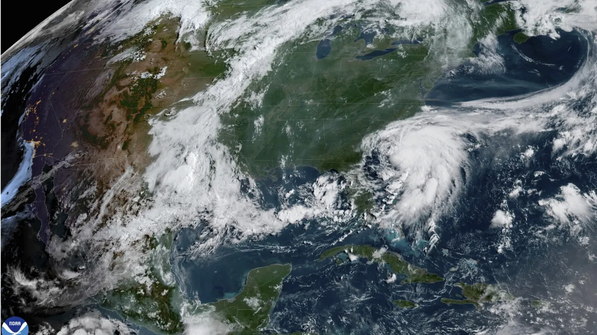
As of early Sunday, Tropical Storm Chantal was located approximately 70 miles (112 kilometers) east of Charleston, South Carolina, and about 85 miles (136 kilometers) southwest of Wilmington, North Carolina. The storm features maximum sustained winds of 50 mph (80 kph) and is moving north at a pace of 8 mph (13 kph).
With rain bands from Chantal making landfall, the hurricane center has raised alarms about the increasing possibility of flash floods. Heavy rainfall is expected to extend across parts of North Carolina through Monday, with total precipitation amounts ranging from 2 to 4 inches (5 to 10 centimeters). In some localized areas, rainfall could reach up to 6 inches (15 centimeters), creating a significant risk for flash flooding.
In light of the impending storm, South Carolina’s Emergency Management Division has proactively warned residents about the potential for isolated tornadoes along the coast and minor coastal flooding. Residents are urged to exercise caution and avoid driving on water-covered roads or around road-closure signs, especially in areas where flooding has occurred.
As Tropical Storm Chantal continues its path, it is essential for those in affected areas to stay informed and prepared for rapidly changing weather conditions. Local authorities recommend monitoring updates from the National Weather Service and following any safety guidelines issued.