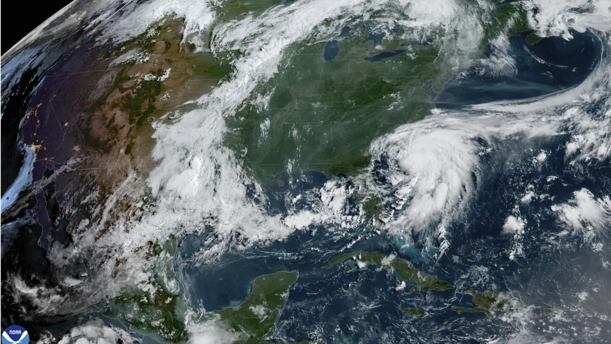
On Saturday, Tropical Storm Chantal formed off the southeast coast of the United States, prompting the issuance of tropical storm warnings for several regions in both North and South Carolina. As reported by the National Hurricane Center in Miami, the storm's center was positioned approximately 65 miles (105 kilometers) east of Charleston, South Carolina, and around 120 miles (190 kilometers) south-southwest of Wilmington, North Carolina.
As of Saturday night, Tropical Storm Chantal was exhibiting maximum sustained winds of 50 mph (85 kph). The storm was moving northward at a speed of 8 mph (13 kph). Rain bands associated with Chantal were already impacting the coastal areas, and the storm's center was predicted to traverse South Carolina overnight, or early Sunday morning. This trajectory raises concerns about potential flash floods as rainfall amounts could escalate significantly.
The National Hurricane Center has forecasted heavy rain for the coastal plains of the Carolinas extending through Monday. Residents can expect total rainfall ranging from 2 to 4 inches (5 to 10 centimeters), with localized areas potentially receiving up to 6 inches. This substantial precipitation poses a serious threat of flash flooding, particularly in low-lying regions.
While Tropical Storm Chantal is expected to weaken rapidly after making landfall, the immediate focus is on the risks posed by heavy rainfall and flooding. Authorities urge residents in affected areas to prepare for possible emergency situations and stay informed about the latest updates from the National Hurricane Center.
As the storm progresses, local governments and emergency services are on high alert, ready to respond to any developments related to Chantal's impact. Stay tuned for further updates on this evolving weather situation.