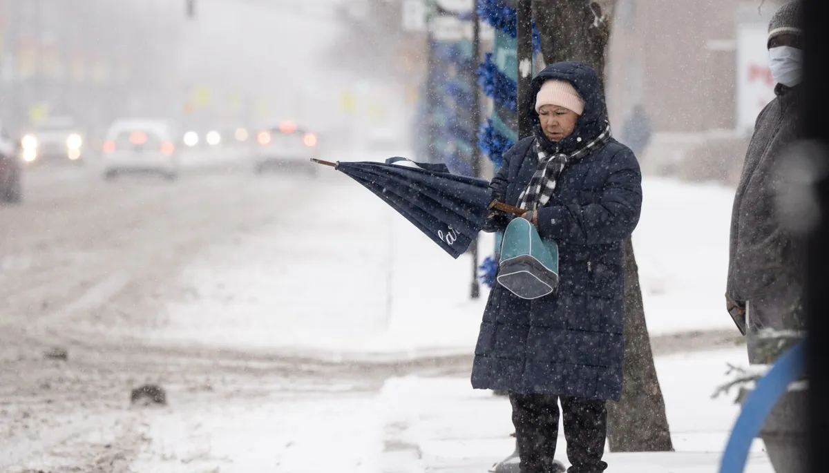
If you experienced the recent snowstorm in Chicago and thought it felt unusual for this time of year, you were right. According to the National Weather Service, Saturday became the snowiest November day ever recorded in the city’s history. This unprecedented storm dumped over 8 inches of snow on various parts of the city, causing significant disruptions and challenges for residents.
As of Sunday morning, O’Hare International Airport recorded an impressive 8.4 inches of snow, while Midway Airport saw a total of 6 inches. The snowfall is particularly notable as it marks the snowiest November day since November 6, 1951, when the city experienced a similar accumulation of 8 inches. This recent storm not only set a new record for November 29 but also exceeded the previous daily snowfall record of 3 inches, which had been set in 1942.
Despite the significant snowfall already recorded, the storm is not yet finished. The winter weather advisory for the area has been extended from 6 a.m. to noon on Sunday. Meteorologist Zachary Yak from the Weather Service stated, “A band of snowfall is moving across Chicago, bringing a quick coating of snow again. We will be done with this storm system around noon.” Residents should remain vigilant as additional snowfall could add to the already challenging conditions.
The impact of the snowstorm has been felt widely, affecting both road and air travel in the Chicago area. Reports from the Illinois State Police indicate that nearly 500 car crashes occurred on local expressways between 5 a.m. and 11:30 p.m. on Saturday. State troopers responded to 480 crashes, with 66 of them resulting in injuries. Additionally, troopers provided assistance to approximately 300 motorists who called for help on the road during the storm.
This record-breaking snowfall serves as a reminder of the unpredictable nature of winter weather in Chicago. Residents are encouraged to exercise caution when traveling and to stay updated on the latest weather advisories as the storm system moves through the area.