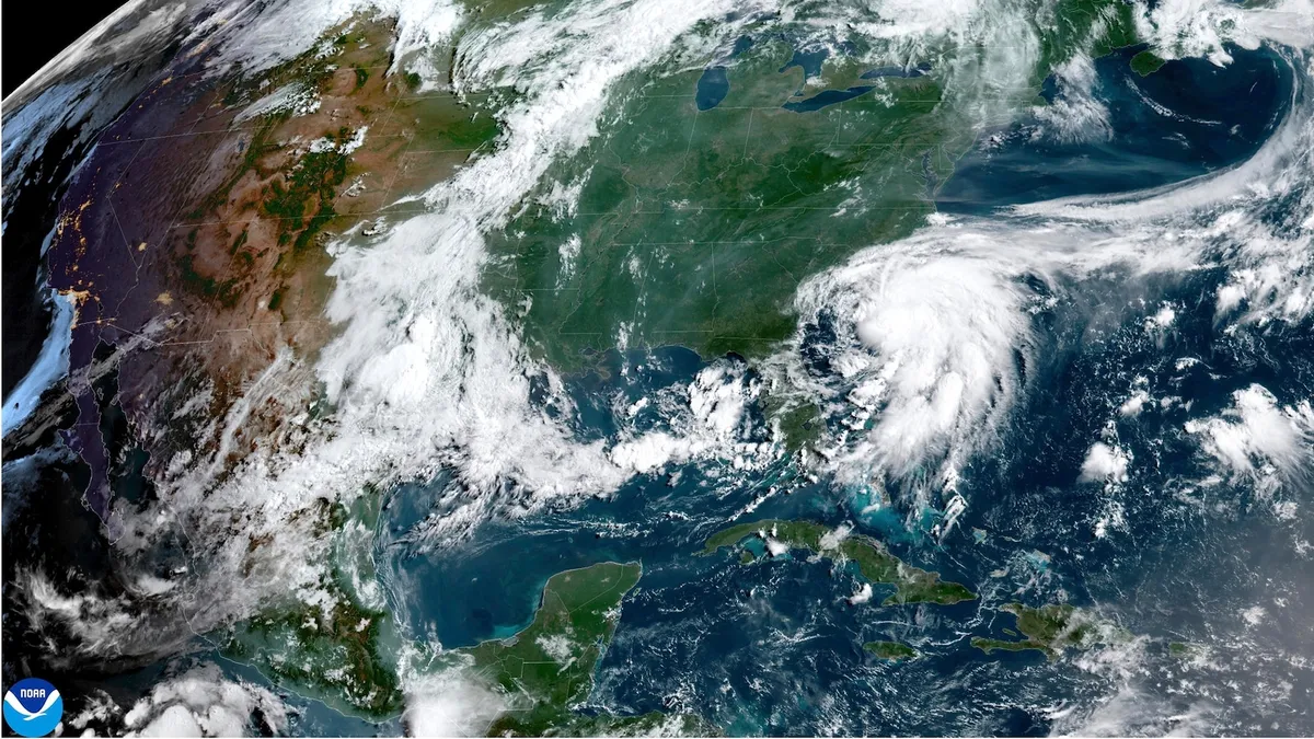
As of Saturday, the Tropical Storm Warning has been extended up to Surf City, North Carolina, due to the presence of Tropical Storm Chantal, which is currently located offshore from the southeastern United States, according to the National Hurricane Center. This storm boasts maximum sustained winds reaching 45 mph and is moving northward at a slow pace of just 3 mph. The center of Chantal is situated approximately 105 miles southeast of Charleston, South Carolina.
Residents along the South and North Carolina coastline are already experiencing scattered showers and thunderstorms generated by Chantal's outer bands. These weather patterns are expected to escalate throughout Saturday afternoon, leading to increased rough surf and perilous rip currents along the coast.
Chantal is projected to maintain its northward trajectory toward South Carolina on Saturday, with landfall anticipated on Sunday morning as a weakened tropical storm. Tropical storm conditions are expected to commence Saturday evening for areas along the Carolina coastline, specifically from the South Santee River to Surf City, where the Tropical Storm Warning remains in effect.
Further south, tropical storm conditions are also possible later today from the South Santee River down to Edisto Beach, South Carolina, where a Tropical Storm Watch is currently active. Heavy rainfall is expected across the coastal Carolinas, raising concerns about flash flooding through Monday. Forecasts indicate total rainfall amounts between 2 to 4 inches, with local amounts potentially reaching up to 6 inches in some areas.
In addition to heavy rainfall, Chantal is anticipated to produce minor storm surge along parts of the Carolina coastline, with storm surges between 1 to 3 feet possible in regions under the Tropical Storm Warning. Furthermore, the system poses a risk of life-threatening surf and rip currents extending from northeastern Florida to the Mid-Atlantic states over the coming days.
It's worth noting that Chantal marks the third named storm of the Atlantic hurricane season, which typically sees its third named storm form around August 3, as reported by the National Hurricane Center. Residents in affected areas are urged to stay informed and take necessary precautions as the storm progresses.