Sections of Juneau, Alaska, are bracing for what could be record-breaking floodwaters triggered by rainwater and snowmelt flowing downstream from a basin dammed by the Mendenhall Glacier. The situation has prompted several residents within the flood zone to evacuate, responding to urgent warnings from local officials. On Tuesday, authorities intensified their alerts, urging citizens to follow the directive: "Don't wait, Evacuate TONIGHT."
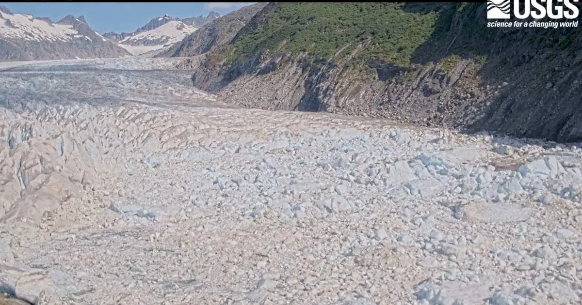
On Tuesday morning, officials confirmed that water had begun to escape the ice dam, leading to expectations of flooding that could persist into Wednesday. Located approximately 12 miles from Juneau, the Mendenhall Glacier is not only a natural wonder but also a major tourist attraction, drawing visitors to its scenic walking trails. Homes situated on the outskirts of Juneau are perilously close to Mendenhall Lake, which rests below the glacier, and many properties line the banks of the Mendenhall River, into which the glacial outburst is currently flowing.
The National Weather Service anticipates that the flooding will peak between 8 a.m. and noon local time on Wednesday, with meteorologist Nicole Ferrin stating that it is likely to set a new record based on current data. Flooding from the basin has been a recurring issue since 2011, with past events resulting in significant damage, including the loss of homes and flooding affecting hundreds of properties.
The alarming flooding is attributed to the retreat of a smaller glacier near the Mendenhall Glacier, which is a consequence of the warming climate. This retreat has formed a basin known as Suicide Basin, which fills with rainwater and snowmelt during the spring and summer months. When the water pressure becomes too great, it finds its way under or around the ice dam, eventually entering Mendenhall Lake and flowing into the Mendenhall River.
Prior to the overtopping of the basin, the water levels were rising at an alarming rate, with measurements indicating increases of up to 4 feet per day, according to the National Weather Service. In recent years, Juneau has experienced successive years of record flooding, with the river cresting at 15.99 feet in August 2023—about a foot above the previous record set in 2022. This year's forecast predicts a crest between 16.3 and 16.8 feet, with an even higher figure of 16.75 feet being deemed more likely.
Last year alone, nearly 300 residences were damaged due to flooding. Disturbing visuals shared on social media captured towering trees collapsing into the rushing Mendenhall River as the water eroded the riverbank, leading to homes teetering on the brink of destruction. A significant outburst can unleash approximately 15 billion gallons of water, equivalent to nearly 23,000 Olympic-sized swimming pools, according to research from the University of Alaska Southeast and the Alaska Climate Adaptation Science Center. During last year’s flood, the flow rate of the Mendenhall River was reported to be about half that of Niagara Falls.
In response to growing concerns from property owners, city officials have collaborated with state, federal, and tribal entities to construct a temporary levee spanning roughly 2.5 miles along the riverbank. This initiative includes the installation of 10,000 Hesco barriers, which function as large sandbags designed to safeguard over 460 properties during an 18-foot flood event, as explained by emergency manager Ryan O'Shaughnessy.
The U.S. Army Corps of Engineers has commenced what is expected to be a years-long study of the region’s conditions, with an aim to explore options for a more permanent solution, such as a levee. However, this timeline has sparked frustration among residents, many of whom believe it is unreasonably long. As long as the Mendenhall Glacier continues to function as an ice dam, outburst floods are anticipated to persist, potentially for another 25 to 60 years, according to researchers from the University of Alaska Southeast and the Alaska Climate Adaptation Science Center.