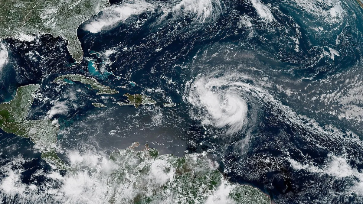
Hurricane Erin has officially become the first hurricane of the Atlantic season, prompting alerts across various regions for potential heavy rain, strong waves, and dangerous rip currents along the East Coast of the United States as early as next week. As a Category 1 storm, Hurricane Erin boasts maximum sustained winds reaching up to 75 mph, raising concerns for impacted areas.
Tropical storm watches are currently in effect for the Northern Leeward Islands, including St. Martin, St. Barts, Anguilla, and Barbuda. Residents in these areas should prepare for breezy and rainy conditions over the next 48 hours. Hurricane Erin is anticipated to pass near or just north of the Leeward Islands on Saturday, with significant weather implications for the region.
This weekend, Hurricane Erin is expected to continue its trajectory north of Puerto Rico, with forecasts suggesting it could intensify into a major hurricane, potentially reaching Category 3 or higher by Sunday morning. The outer bands of the storm are likely to bring between 2 to 4 inches of rainfall to Puerto Rico and the U.S. Virgin Islands on Saturday and Sunday. This rainfall could lead to isolated flash flooding and mudslides, with gusty winds estimated at 40 to 50 mph.
Moving into next week, Hurricane Erin will proceed northwest, maintaining a position east of the Bahamas. Most meteorological models predict that Erin will remain hundreds of miles off the East Coast of the U.S. Nevertheless, the storm will still generate large waves and potentially life-threatening rip currents along the coast from August 20 to August 27. This situation poses serious risks not only to beachgoers but also to coastal property, particularly along North Carolina's Outer Banks, where erosion could become a significant concern.
The Outer Banks and various regions of North Carolina could experience wave heights ranging from 8 to 12 feet, while areas in South Carolina and Virginia may see waves reaching up to 6 feet next week. Despite the looming threat of vigorous waves along the East Coast, meteorologists anticipate that a cold front moving off the U.S. coast will help keep Hurricane Erin out to sea, while also bringing below-average temperatures to the Northeast.
The National Hurricane Center has forecasted an above-normal hurricane season for the Atlantic, with August, September, and October identified as the peak months. The Atlantic hurricane season officially concludes on November 30. As this situation continues to evolve, stay tuned for updates on Hurricane Erin and its potential impacts.