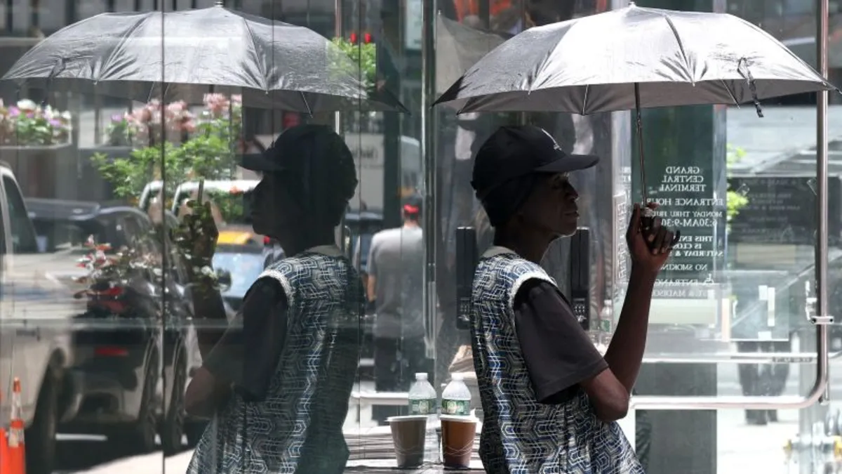
A long-lasting extreme heat wave is reaching its dangerous crescendo on Tuesday, likely bringing the hottest day in a decade to several major East Coast cities and putting millions of already fatigued Americans at risk. The brutal conditions, spurred by a potent heat dome, are peaking after building over the weekend in the central US, reaching levels that rival summer’s hottest weather in the East.
The extreme heat has already taken a serious toll on individuals. A tragic incident reported on Tuesday involved a St. Louis-area woman who died after going without water or air conditioning for at least three days. According to police, the 55-year-old victim was discovered in her home on Monday. The region has been gripped by searing temperatures that often felt above 100 degrees Fahrenheit in recent days, as stated by St. Anne Police Chief Aaron Jimenez.
In Paterson, New Jersey, two high school graduations held in Monday’s sweltering conditions sent 16 people to the emergency room and over 150 individuals were evaluated for heat-related illnesses, as reported by Paterson Fire Chief Alejandro Alicea. The extreme temperatures also impacted public transportation; in Baltimore, an Amtrak train stalled in a tunnel, leaving passengers trapped in the heat for over an hour. “I honestly thought I was going to collapse on the train,” said passenger Laura Evans, who noted that several of the train’s cars were without air conditioning.
In nearby Washington, DC, five people were hospitalized for heat-related illnesses following a concert at Nationals Park. Another individual was transported prior to the concert due to heat exhaustion. The extreme temperatures have prompted the closure of some attractions, including the Washington Monument, which remained closed due to an Extreme Heat Warning.
According to the National Weather Service, nearly 160 million people in the eastern half of the US are under heat alerts on Tuesday. It’s important to note that heat remains the deadliest form of extreme weather in the United States. Globally, heat waves are becoming more frequent, severe, and longer-lasting due to human-caused climate change. Notably, nighttime temperatures are rising faster than daytime highs, exacerbating the impact of the heat.
Extreme heat also poses significant challenges to infrastructure, causing materials like concrete and asphalt to expand and warp. In Wisconsin, parts of key thoroughfares in Milwaukee and Green Bay were closed after buckling under the intense heat, with over 50 buckles reported statewide. Similar incidents occurred in Cape Girardeau, Missouri, where officials warned that more streets could crack as the heat persists.
Rail travel faced ongoing challenges amid the scorching temperatures, with several Amtrak trains in North Carolina canceled due to “inclement conditions.” Temperature-related speed restrictions were also implemented for multiple Amtrak lines in the Northeast.
Tuesday is expected to be the hottest day of the week for many in the East, with a level 4-of-4 extreme heat risk in place through at least Thursday. This heat wave stretches from the Midwest to the Mid-Atlantic, including parts of the Northeast. Many locations will feel more like July, summer’s hottest month, than June, with temperatures rising 15 to 20 degrees above normal.
Triple-digit high temperatures are anticipated from the Carolinas north into southern New England, impacting every major city along Interstate 95. In Boston, the forecast high of 101 degrees would break the June high temperature record and come within three degrees of the all-time record. Similarly, Philadelphia could see a high of 101 degrees, making it the city's hottest-ever day this early in the summer.
New York City is also on track to hit 100 degrees on Tuesday for the first time in over a decade. The city’s last triple-digit temperature occurred on July 18, 2012, but it hasn't reached 100 degrees in June since 1966. Washington, DC, is projected to experience its first 100-degree day of the year, which typically doesn't happen until mid-July.
As for when this extreme heat wave will end, parts of the East Coast are expected to see some relief starting Wednesday, although it will be a gradual process. Wednesday will still be very hot, but not as extreme for many areas. Record-breaking temperatures are possible, mainly in the mid-Atlantic, but triple-digit temperatures will fade from the Northeast.
By Thursday, heat more typical of late June will arrive, though mornings will still be warm, prolonging the wait for relief. Much of the Northeast will experience highs in the 70s, with 80s and lingering 90s in the Mid-Atlantic. Cooler, more typical overnight low temperatures are expected to return on Friday, bringing an end to the oppressive heat.
As we head into the weekend, normal late-June heat will dominate, but temperatures may creep back up above average early next week, reminding us of the ongoing challenges posed by extreme heat events.