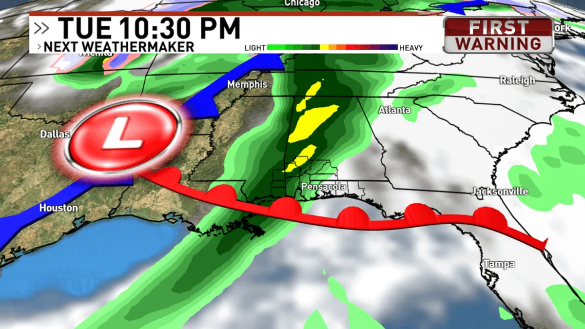
March is officially here, marking not only the arrival of spring on the 20th but also the beginning of the severe weather season in the deep south. As we transition into this new season, residents should brace themselves for the possibility of severe storms, with a significant weather event forecasted for Tuesday evening into early Wednesday morning.
A strong frontal system is set to move across the Midwest and into the southeast on Tuesday and Wednesday, increasing the potential for severe storms throughout the region. The entire WEAR viewing area is currently under a level 2 out of 5 risk. While the most significant threats are predicted to be located to our west, it is crucial not to underestimate the potential for strong to severe storms in our area.
As shown in the accompanying graph, any storms that do develop are expected to be short-lived, but they could still bring isolated intense weather. The primary concern with any severe storms will be damaging wind gusts and straight-line winds. Although the possibility of a weak tornado exists, it remains a low-risk scenario.
Forecast models, as of Sunday night, indicate that storms are likely to begin affecting our area around 8 PM, with the potential to clear out by 2 AM. It’s important to note that while the storms may not persist for an extended period in any one location, the timing suggests they will be moving through the region relatively quickly—from Mobile County and out towards west Walton County.
Given that this weather event is expected to occur late in the evening and into the night, many residents may be asleep when the storms pass through. Therefore, it is essential to have multiple ways to receive weather warnings as we approach Tuesday. Understanding the difference between a tornado WATCH and a tornado WARNING can also be critical during this time.
Since the severe weather event is still a few days away, it is important to remember that forecasts can change. Stay updated by monitoring weather reports leading into Tuesday, and return here for the latest information on storm timing and impacts in our local area.