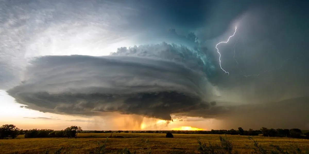
As we head into the weekend, a powerful storm system is intensifying across the central United States, bringing a severe weather outbreak that is expected to impact more than 150 million people. The Storm Prediction Center has issued the highest risk level for severe weather, forecasting a significant tornado outbreak on Saturday. The storm will continue to affect the East Coast on Sunday, stretching from Florida all the way to the Northeast.
The FOX Forecast Center warns that multiple days of potent thunderstorms could lead to destructive straight-line winds reaching up to 100 mph, hail the size of baseballs, and significant long-tracked tornado activity rated EF-3 or higher. The main action is expected to begin on Friday with a powerful squall line of storms developing across Missouri and Iowa, advancing eastward through the Mississippi Valley.
“This storm has it all,” said Bill Bunting, operations branch chief for NOAA and the National Weather Service Storm Prediction Center (SPC). “The moisture is plentiful, and our fear is that all these ingredients – wind shear, moisture, and lift – are going to combine to produce a very explosive and potentially deadly situation starting this afternoon and continuing overnight and into Saturday.”
In preparation for the severe weather, Severe Thunderstorm Watches have been issued from Iowa and Nebraska southward to Kansas and Missouri, highlighting the threats of damaging hail and high winds. Additionally, Tornado Watches are in effect for large areas of Missouri, Illinois, and Arkansas, including the St. Louis metro area, and extending all the way to the Gulf Coast.
In northwest Missouri, reports indicate wind damage has already occurred, with part of a shopping center in Trenton collapsing. Fortunately, no injuries were reported, but extensive power outages have affected the region. Anticipating widespread impacts, the governors of Alabama and Missouri have declared states of emergency.
On Saturday, the storm system will continue its eastward trajectory, raising the risk of a tornado outbreak across the central Gulf Coast states and Deep South into the Tennessee Valley. A Level 5 out of 5 on the severe storm threat scale is currently affecting 2.7 million people in major cities such as Birmingham, Alabama, Jackson, Mississippi, Tuscaloosa, and Hoover in Alabama, as well as Hattiesburg, Mississippi.
The FOX Forecast Center anticipates that storms will develop along the Mississippi River, rapidly moving east from midday into the afternoon. The line of supercells is expected to sweep through central and southern Mississippi, northern Alabama, central and eastern Tennessee, and north Georgia. Cities like New Orleans, Louisiana, and Birmingham, Alabama, are under a Level 4 out of 5 risk, indicating a high likelihood of supercell thunderstorms capable of producing tornadoes and damaging winds.
By Sunday, the storm system will have traversed the entire United States, focusing its attention on the East Coast, including the Interstate 95 corridor. The threat of tornadoes will be predominantly confined to the Virginia coast and southward into the Carolinas, with damaging wind gusts and large hail being the primary concerns.
As with Friday and Saturday, significant wind shear will remain present, allowing any isolated storm to potentially rotate and produce a tornado, according to the FOX Forecast Center. It is crucial for residents in affected areas to stay informed and prepared as this severe weather situation unfolds.