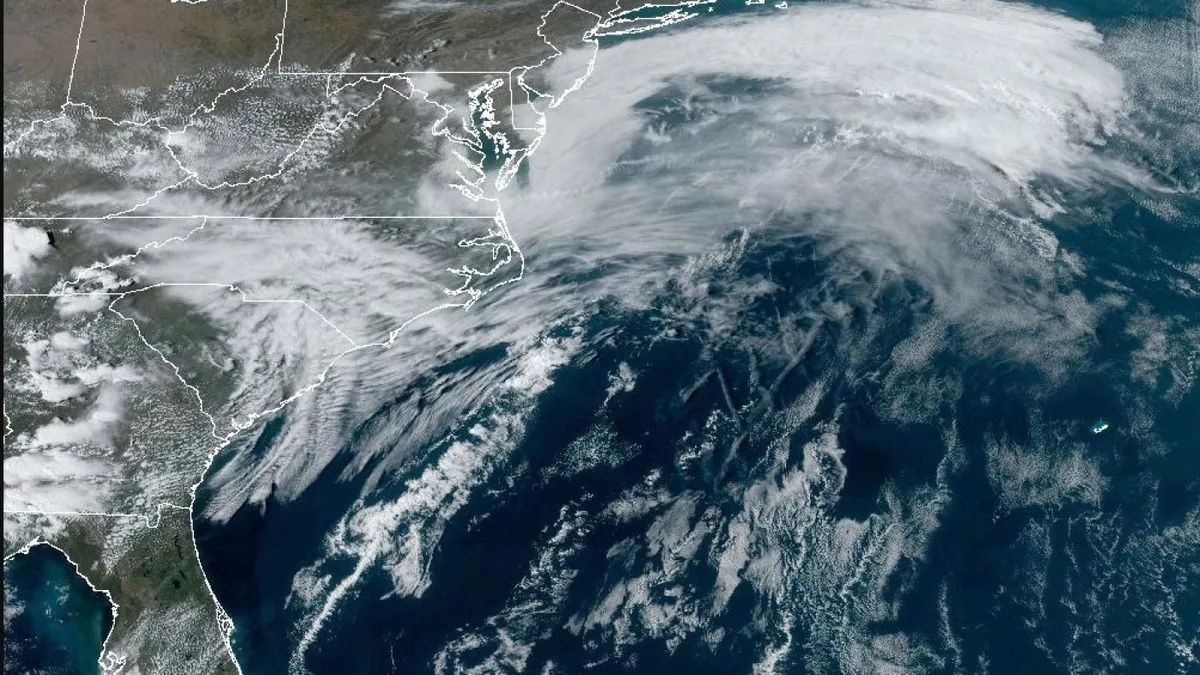
A significant storm system is currently sweeping across the United States, bringing with it a multitude of severe weather threats. As we approach Friday, residents in the Mississippi Valley are on alert for possible tornadoes, while those in the northern Plains can expect blizzard conditions. Additionally, the Southern Plains, including Texas and Oklahoma, are facing dry and gusty weather that could lead to an extreme risk of wildfires. The National Weather Service has warned that this unpredictable weather could impact over 100 million people across a vast area of the country.
Forecasts indicate that powerful winds, with gusts reaching up to 80 mph, will extend from the Canadian border down to the Rio Grande, which separates the United States from Mexico. Meteorologists predict that the severe storm threat will persist into the weekend, affecting cities as far south as New Orleans and Birmingham, Alabama. By Sunday, heavy rainfall may also lead to flash flooding along parts of the East Coast.
Experts note that such extreme weather events are not uncommon in March, a transitional month characterized by the clash of emerging spring warmth and lingering winter cold. Benjamin Reppert, a meteorologist at Penn State University, emphasized, "If there's a time of the year where a storm like this can deliver coast-to-coast impacts, we are in it."
On Friday afternoon, a regional outbreak of severe storms is expected, with a risk of thunderstorms stretching from the Great Lakes to the Gulf Coast. Forecasters have highlighted the possibility of tornadoes, damaging winds, and hail that could reach sizes comparable to baseballs. The most significant risks are predicted for areas in eastern Missouri, large portions of Illinois, and parts of Iowa, Kentucky, Tennessee, and Arkansas. According to the Storm Prediction Center, about 17 million people are under an enhanced to moderate severe storm threat from Des Moines, Iowa, to Jackson, Mississippi.
The threat of tornadoes is expected to shift south on Saturday, affecting the Gulf Coast states, including New Orleans and eastern Louisiana, as well as large portions of Mississippi and Alabama.
In the northern regions, particularly the Rockies and Northern Plains, forecasters warn that heavy snowfall accompanied by strong winds will create treacherous travel conditions. Blizzard warnings are anticipated for the Dakotas and Minnesota. Meanwhile, winter storm warnings issued in mountainous areas of Arizona and Utah are expected to persist, with over a foot (30 centimeters) of snow possible. Travelers are advised to prepare for poor visibility and icy road conditions, with recommendations to carry extra food and water in case of emergencies.
As warm, dry weather pairs with sustained winds of up to 45 mph, the Southern Plains and parts of the Southwest face what the weather service describes as near historic conditions for igniting wildfires. Wind gusts could exceed 80 mph, leading to heightened dangers. Forecasters have issued crucial safety tips for those on the roads: maintain a firm grip on the steering wheel and be vigilant for fallen trees, power lines, and other debris. Dust storms are also anticipated, with Randall Hergert, a lead forecaster with the weather service in Albuquerque, warning that this could be the worst dust storm of the year.
Moreover, an extreme fire risk has been identified in parts of northern Texas, much of Oklahoma, and southeast Kansas. The fire threat is deemed critical across a broader area stretching from eastern New Mexico into Texas and extending north to parts of southern Iowa.