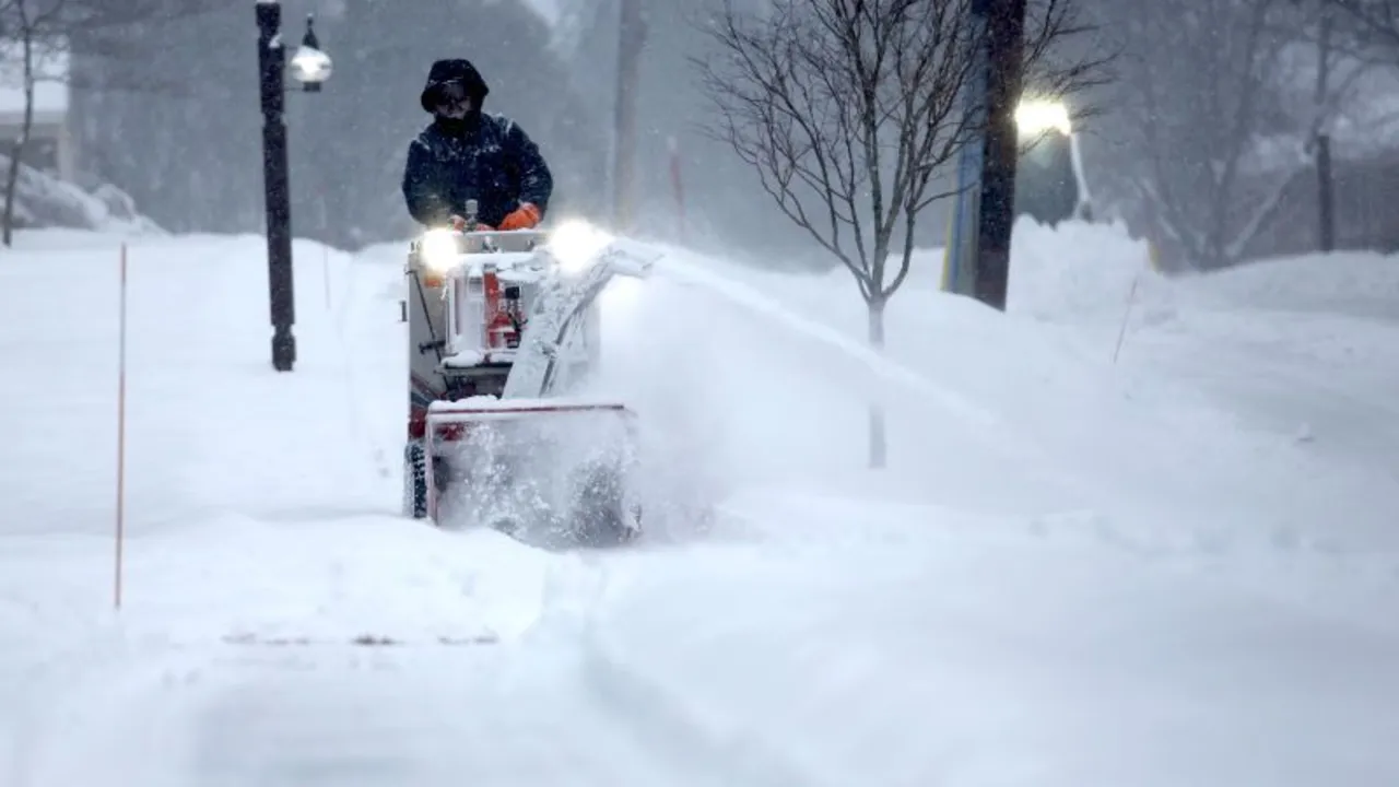
The eastern half of the United States is bracing for the second of five storms set to deliver significant snow and ice over a two-week period. This upcoming storm is predicted to bring even more snow than the first.
The first storm unleashed deadly severe weather, causing life-threatening flooding and creating hazardous ice and snow conditions across the Midwest and Northeast on Wednesday and Thursday.
Having already impacted the West Coast on Thursday, the storm is advancing swiftly through the northern Rockies and is expected to span the country from coast to coast in under 72 hours. It will bring heavy snow to the Midwest by Saturday and affect the Northeast by Saturday night and Sunday.
The active jet stream, acting like a river of air in the atmosphere, is channeling these storms. It's currently aligned from west to east and will continue to direct fast-moving storms over the northern part of the Lower 48 until possibly mid-February. Consequently, areas in the East, such as Boston and New York City, may experience more snowfall over the next two weeks than during the past two winters combined.
Snowfall from this storm is anticipated to begin early Saturday over the northern Plains and Upper Midwest. As the storm gains strength from atmospheric energy to its south, rain and freezing rain will develop from Missouri to the central Appalachians by Saturday morning, while snow continues to fall over the Great Lakes.
Predictions suggest a widespread area will receive 3 to 6 inches of snow from central Minnesota across to central Michigan. In contrast, Chicago and Detroit are likely to see minimal snow accumulation — less than an inch in Chicago and about an inch in Detroit. Expect dry conditions between Chicago and Cleveland Saturday morning, though icy conditions will likely develop by the afternoon.
A mix of freezing rain, sleet, and snow will cover Pennsylvania by Saturday evening, spreading through New Jersey, New York City, and Long Island shortly after. Snowfall from this storm is expected to exceed that of Thursday's storm in much of New England and Upstate New York.
Snowfall could reach at least 6 inches from central New York to southern Maine and much of southern New England. Snow totals in areas from Syracuse to Boston could approach double-digit levels, with Boston potentially receiving a foot of snow Saturday night into Sunday — an amount exceeding the city’s total last winter in just one event.
The storm should clear much of the Northeast by mid-morning Sunday, except for slight lingering snowfall into the early afternoon in Maine and coastal New England. As the week commences, another storm is anticipated.
The specific timing and severity of next week’s winter weather remain unclear but predictions indicate a widespread storm could form in the Plains by Monday evening, spreading precipitation across much of the eastern half of the U.S. overnight into Tuesday. The storm’s path could extend anywhere from the Mississippi and Tennessee valleys to the Midwest and Northeast.
Furthermore, another similar storm may develop in the Plains after midweek. The first storm of the week will influence this next storm’s development and movement, so forecasts will become clearer as next week progresses. Yet another cross-country storm could emerge by weekend, bringing additional snow and ice to the eastern U.S.
This active weather phase could lead Boston to see 1 to 2 feet of snow, approaching its average annual snowfall of 3 feet — more than half of which was missed in recent years. Similarly, New York City, which saw less than 10 inches of snow over the past two winters, might meet this total during the upcoming series of storms.
Report contributed by CNN Meteorologist Brandon Miller.