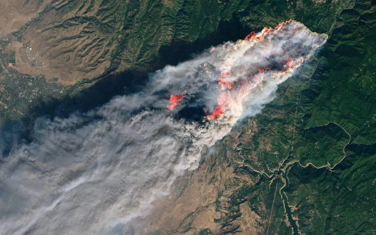
The first satellite of the Google-backed FireSat constellation successfully reached orbit over the weekend, marking a significant milestone in the field of wildfire detection and monitoring. This innovative constellation is set to revolutionize the way we track and respond to wildfires, providing crucial data to firefighters and environmental agencies.
The FireSat constellation aims to keep a vigilant watch over wildfires, with plans to deploy more than 50 satellites that will be capable of imaging nearly all of Earth's surface every 20 minutes. The initial operational phase will feature three satellites, and by 2026, the system will revisit every location on the planet twice daily, enhancing our ability to manage and respond to wildfire threats.
The first satellite in this groundbreaking constellation was developed by Muon Space and launched aboard SpaceX’s Transporter 13 mission on March 14 from Vandenberg Space Force Base. Equipped with a sophisticated sensor suite that includes six-band multispectral infrared cameras, the satellite is designed specifically to detect wildfires from afar, ensuring quick and accurate monitoring.
Current wildfire tracking methods typically rely on aerial photography using airplanes or low-resolution satellite imagery that is not optimized for wildfire detection. Aerial photography can be costly, limiting the frequency of updates, while low-resolution imagery fails to provide the detail needed for effective monitoring. The FireSat constellation addresses these limitations by offering five-meter resolution imagery, which will allow for near real-time updates on fire locations and behaviors, significantly improving response efforts.
The development of the FireSat constellation is a collaborative endeavor between Muon Space and the Earth Fire Alliance, a nonprofit organization supported by prominent entities including Google, the Environmental Defense Fund, the Gordon and Betty Moore Foundation, and the Minderoo Foundation. This partnership underscores the importance of harnessing technology and resources to combat the growing threat of wildfires.
As we move forward, the FireSat constellation promises to enhance our capabilities in wildfire detection and response, ultimately aiming to protect communities and ecosystems from the devastating impacts of wildfires.