It may come as a surprise to many that the depths of Earth's oceans are more mysterious to scientists than the surface of the moon, which is approximately 240,000 miles away in space. While spacecraft have successfully mapped various lunar features over the years using advanced cameras and sensors, the mapping of the ocean floor has proven to be a far more challenging endeavor. The intense water pressure found in the deep sea can crush most equipment, and the ocean floor remains largely hidden from view beneath miles of water that absorbs light and becomes opaque. This makes direct observations particularly difficult.
A new initiative utilizing data from a NASA-led satellite is set to change the game, providing one of the most detailed maps of the world's ocean floors ever created. The satellite, known as SWOT (Surface Water and Ocean Topography), is a collaboration between NASA and France's Centre National d'Études Spatiales. David Sandwell, a geophysicist at the Scripps Institution of Oceanography, stated, "This satellite represents a significant leap in our ability to map the seafloor." The global map of the ocean floor is based on data obtained from the SWOT satellite, which was launched in December 2022.
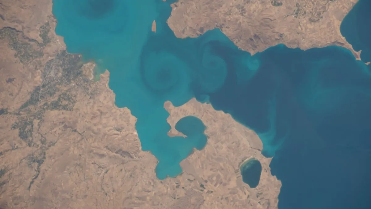
Although the primary mission of the SWOT satellite is to measure water height across the planet’s oceans, lakes, and rivers, scientists have discovered that its advanced technology can also help estimate the size and shape of underwater structures with remarkable precision. Understanding the features of the ocean floor is crucial for various reasons—maps assist ships in navigating around potential hazards and guide engineers in laying underwater communication cables. Additionally, they play a significant role in studying deep-sea currents, tides, and the movements of Earth's tectonic plates, which shift over millions of years.
Experts have long relied on traditional methods to map the ocean floor, sending ships equipped with sonar technology—sound waves that bounce off the sea bottom—to measure depth. However, this process has been slow, as ships can only cover small areas at a time, leaving vast portions of the ocean unexplored. As a result, scientists may not achieve their goal of completing a comprehensive seabed map by 2030. Although there are numerous satellites in low-Earth orbit, most of them lack the resolution necessary for effective mapping.
The new data obtained from SWOT is approximately twice as detailed as previous satellite maps, making it easier for researchers to identify previously unknown features. A new map based on SWOT data was published in the journal Science in December, accompanied by an animation created by NASA. This animation reveals significant new information in regions near Mexico, South America, and the Antarctic Peninsula, with purple areas indicating lower regions surrounding higher underwater elevations, depicted in green.
Thanks to the satellite’s cutting-edge radar technology, it can now detect seamounts that are less than half the size of those previously mapped, potentially increasing the known number of seamounts from 44,000 to 100,000. These underwater mountains play a crucial role in affecting ocean currents and creating nutrient-rich areas that attract diverse marine life.
Despite the challenges, David Sandwell notes, "We won’t complete the ship-based mapping by 2030, but SWOT will help us fill in the gaps." The technology employed by the satellite detects tiny changes in water height. Instead of a perfectly smooth surface, the sea is uneven due to submerged mountains and geological features that exert slightly stronger gravitational pulls, causing small bumps. SWOT's instruments can measure these variations with precision.
The SWOT satellite orbits the Earth every 21 days, covering approximately 90 percent of the planet's surface. Remarkably, SWOT is reported to have gathered more detailed data than what was collected over 30 years of previous satellite missions within just one year. The new map boasts a resolution of about 5 miles, enabling scientists to identify features that previously eluded detection. Notably, the clarity of this data has allowed researchers to recognize underwater ridges known as abyssal hills, which are the most common topographical feature on Earth, covering around 70 percent of the ocean floor.
The enhanced mapping capabilities could lead to groundbreaking geological discoveries, including the identification of active underwater volcanoes and previously unknown fault lines. There is also the potential to rediscover ancient lands that remain submerged. Furthermore, this research holds significance for astrobiology. Many scientists believe the chemical processes that initiated life on Earth began at mid-ocean ridges, which are locations where tectonic plates pull apart, occasionally producing hydrothermal vents rich in minerals. The data from SWOT may assist researchers in pinpointing new underwater hot springs for future investigation, ultimately contributing to a deeper understanding of the conditions necessary for life, both on our planet and potentially beyond.